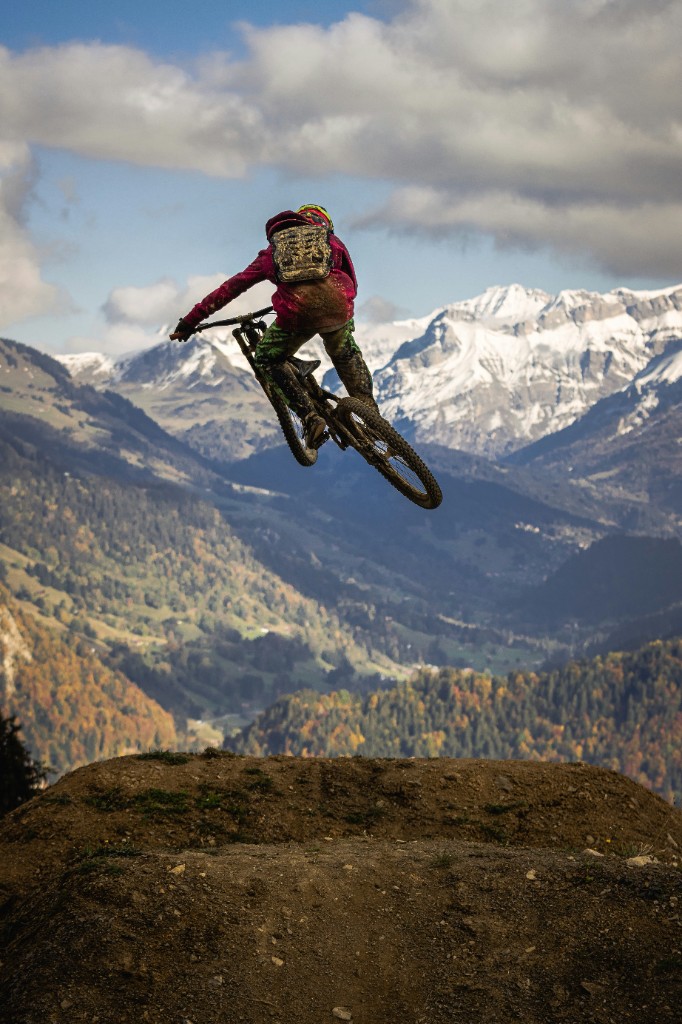
Hacklberg Trail
blue · flow
Long alpine flow classic from Westgipfel toward Hinterglemm with open turns and high-speed terrain.
 Find ParksExploreDownload App
Austria · Salzburg
Gravity Card 2026
Ride this participating bike destination without buying a local bike-park ticket, during its published bike operations.
Plan your visit
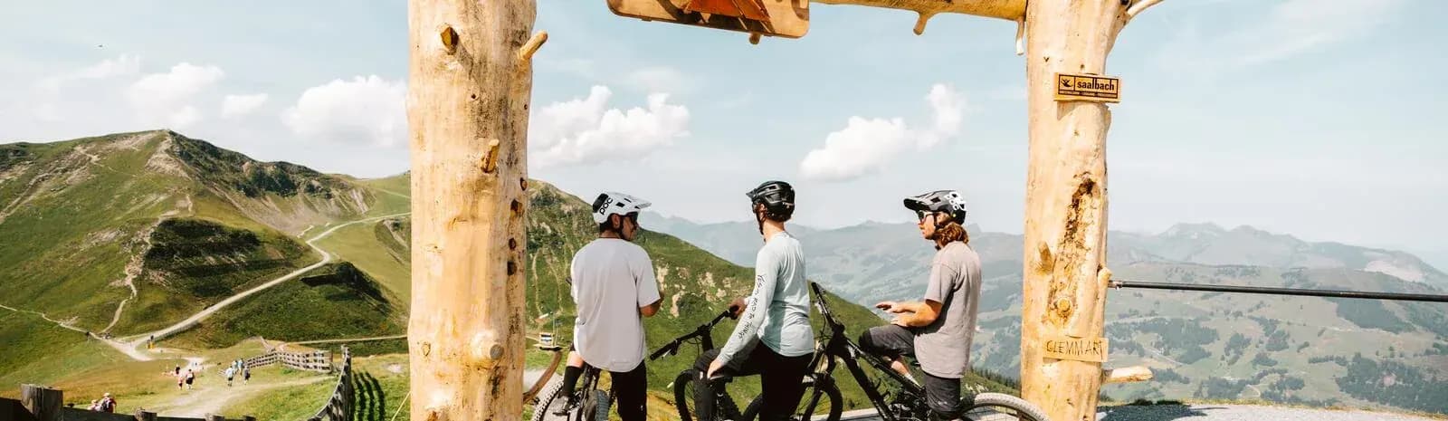
Saalbach Hinterglemm is one of the Alps largest connected gravity regions, linking Schattberg, Westgipfel, Kohlmais, Reiterkogel, Leogang, and Fieberbrunn into a bike network with long downhill lines, freeride tracks, flow trails, natural singletrack, pump tracks, and skills zones.
Opening & passes
At the park
Rider fit
A mixed catalogued trail spread, with progression options and more demanding riding.
Nearby logistics
Find local support from the park address. Confirm overnight rules, access and emergency arrangements directly.
Berm park guide
Saalbach Hinterglemm is one of the Alps largest connected gravity regions, linking Schattberg, Westgipfel, Kohlmais, Reiterkogel, Leogang, and Fieberbrunn into a bike network with long downhill lines, freeride tracks, flow trails, natural singletrack, pump tracks, and skills zones.
Trail directory
Difficulty labels follow the published park data. Always check the official map, signs, weather, and closures before riding.
Trail highlights
blue · flow
Long alpine flow classic from Westgipfel toward Hinterglemm with open turns and high-speed terrain.
black · downhill
Demanding Schattberg downhill line with roots, rocks, compressions, and sustained vertical.
red · freeride
Reiterkogel freeride trail with berms, tables, wallrides, and optional features.
black · jump
Advanced jump and freeride line with larger shaped features.
blue · singletrail
Scenic singletrack connection with moderate technical sections.
green · flow
Beginner-friendly lower-mountain trail with mellow turns and rollers.
Local bike businesses
Selected bike shops, rentals and workshops, ordered by Google review count, then rating. Reviews cover the whole business, including winter services. Distances are straight-line estimates; check directions for the journey.
Bike rental & coaching
Bike rental and instruction in Hinterglemm. The Google listing also covers the winter ski school.
Wieshofweg 319, 5753 Saalbach, Austria
+43 6541 20403 View business & photos
 Bike shop, rental & coaching
Main store by the village pedestrian zone, close to Reiterkogelbahn. Rental equipment and bike lessons.
Dorfstraße 165, 5754 Hinterglemm, Austria
+43 6541 20606Google Maps ratings checked 2026-09-14. See search results
Help when you need it
Hospital · acute care
Acute outpatient care for accidents and urgent illness. Hospital switchboard shown; for an ambulance call 144.
Paracelsusstraße 8, 5700 Zell am See, Austria
+43 50272 0Doctor's surgery
Call before visiting. For the doctor on duty outside surgery hours, call 141.
Forstwiesenweg 776, 5753 Saalbach, Austria
+43 6541 6287Contact details checked 2026-09-14. Call the facility to confirm opening hours and the care available.
Berm combines curated park facts with its mapped park catalog. Prices, lifts, trail status, and opening hours can change; use the operator links below for same-day decisions.