

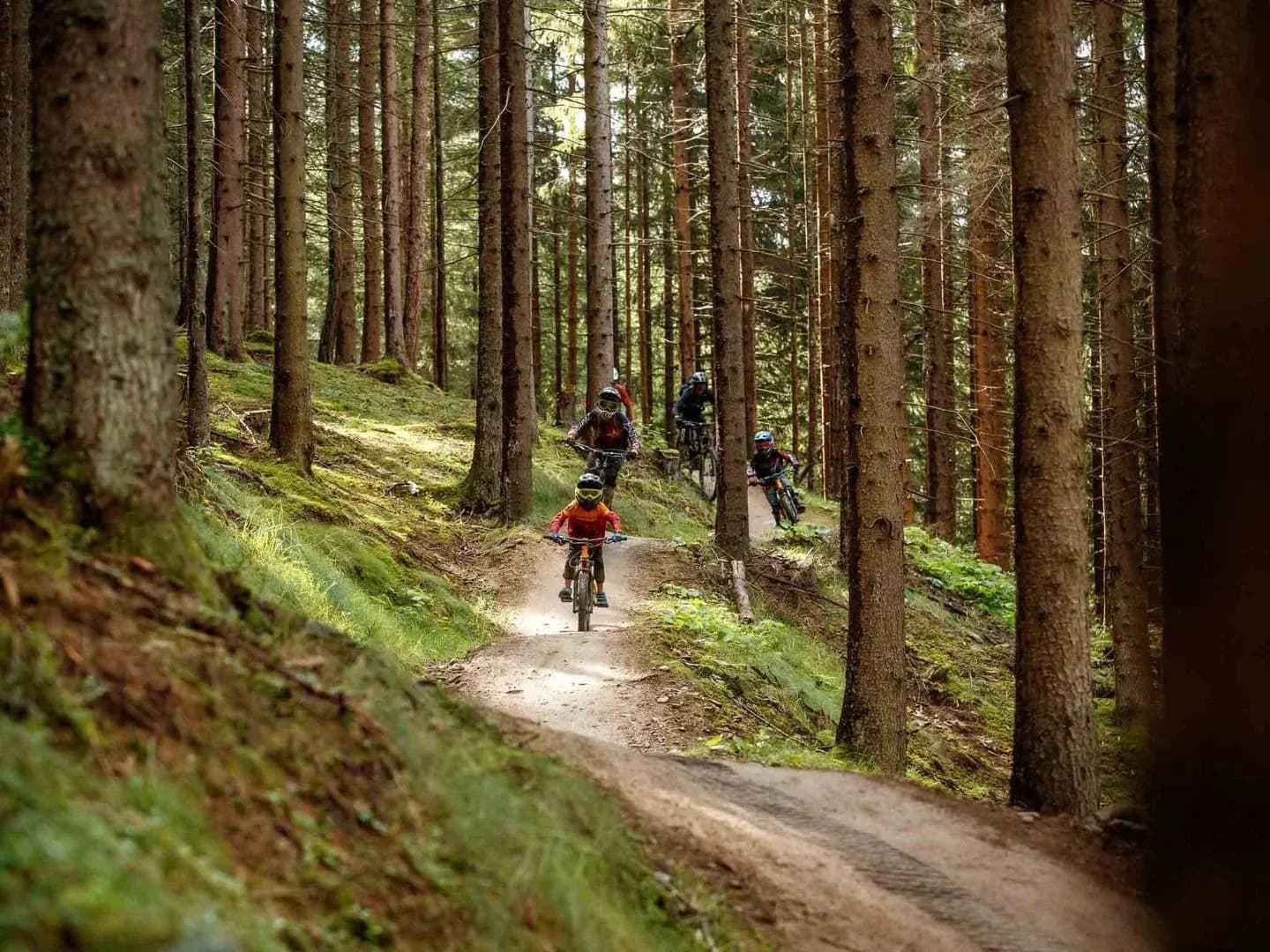
These four came straight from the park request list. Austria's lift network can make a park look simple from a distance. On the ground, links between sectors and return routes are exactly where a clear map earns its place.
Each park now has a Berm page with the mapped trail network, useful access details and a direct route into the full guide. The numbers below describe what is currently in Berm, not a promise that every line or lift is running today.
Bikepark Innsbruck (Muttereralm)
Mutters · Tyrol
Bikepark Innsbruck (Muttereralm) was one of the names that kept returning on the request list. Berm now carries 145 mapped trails and one mapped lift, giving you a quick read on the size and shape of the network before you choose a day to ride.
Use the map for route planning, then check the operator's own report for today's closures, access and opening hours.
Bikepark Leogang
Saalfelden Leogang · Salzburg
The useful part of adding Bikepark Leogang is having the riding network in one view. The park page currently brings together 22 mapped trails and 6 mapped lifts, so the links between sectors and repeat laps are easier to spot before you arrive.
The map is the planning layer, not a live conditions board. Confirm current access and operating details with the park before setting off.

Planning a trip here?
Take Berm with you.
Save the park, keep the trail map close and track every lap with Berm.
Bikepark Schladming
Planai · Styria
Bikepark Schladming is now in the directory after repeated requests from riders looking around Planai · Styria. Its Berm page shows 16 mapped trails and 3 mapped lifts without turning the planning job into a stack of separate tabs.
Open the full guide to inspect the network, and use the park's current report for weather holds, closures or changes to uplift and lift service.
Bikepark Serfaus-Fiss-Ladis
Tyrol · Austria
A trail count never tells the full story at Bikepark Serfaus-Fiss-Ladis, but it is a useful place to start. Berm currently shows 130 mapped trails and 9 mapped lifts, with the map doing the more important job of showing how those lines sit together.
That gives you the shape of the day; live trail status and operating hours can still move, so check them with the park before travelling.