

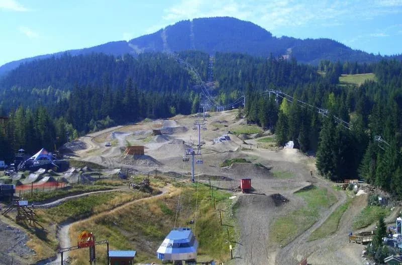
These five came straight from the park request list. Canada is too large for a single riding style, and this batch shows it: long western resort laps sit alongside one of Quebec's established race venues.
Each park now has a Berm page with the mapped trail network, useful access details and a direct route into the full guide. The numbers below describe what is currently in Berm, not a promise that every line or lift is running today.
Whistler Mountain Bike Park
Whistler · British Columbia
Whistler Mountain Bike Park was one of the names that kept returning on the request list. Berm now carries 112 mapped trails and 5 mapped lifts, giving you a quick read on the size and shape of the network before you choose a day to ride.
Use the map for route planning, then check the operator's own report for today's closures, access and opening hours.
Sun Peaks Bike Park
Thompson-Okanagan · British Columbia
The useful part of adding Sun Peaks Bike Park is having the riding network in one view. The park page currently brings together 56 mapped trails and 5 mapped lifts, so the links between sectors and repeat laps are easier to spot before you arrive.
The map is the planning layer, not a live conditions board. Confirm current access and operating details with the park before setting off.
Kicking Horse Mountain Resort
Golden · British Columbia
Kicking Horse Mountain Resort is now in the directory after repeated requests from riders looking around Golden · British Columbia. Its Berm page shows 43 mapped trails and one mapped lift without turning the planning job into a stack of separate tabs.
Open the full guide to inspect the network, and use the park's current report for weather holds, closures or changes to uplift and lift service.
Planning a trip here?
Take Berm with you.
Save the park, keep the trail map close and track every lap with Berm.
Revelstoke Mountain Resort
Revelstoke · British Columbia
A trail count never tells the full story at Revelstoke Mountain Resort, but it is a useful place to start. Berm currently shows 20 mapped trails and 2 mapped lifts, with the map doing the more important job of showing how those lines sit together.
That gives you the shape of the day; live trail status and operating hours can still move, so check them with the park before travelling.
Mont-Sainte-Anne
Beaupré · Quebec
Mont-Sainte-Anne fills a clear gap in the map for Beaupré · Quebec. The guide now includes 20 mapped trails and one mapped lift, enough to understand the basic layout before working out access, timing and which part of the hill to ride first.
Berm helps with the route choice. Same-day conditions, closures and access still need a final check with the people running the park.